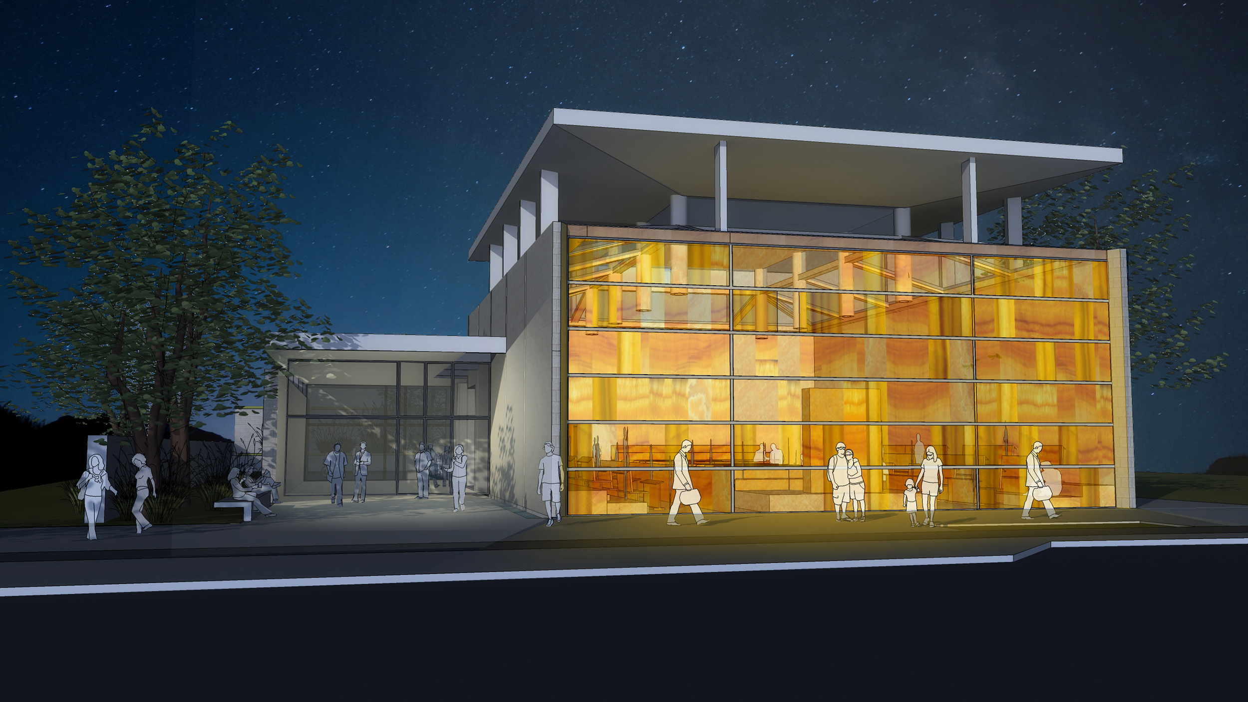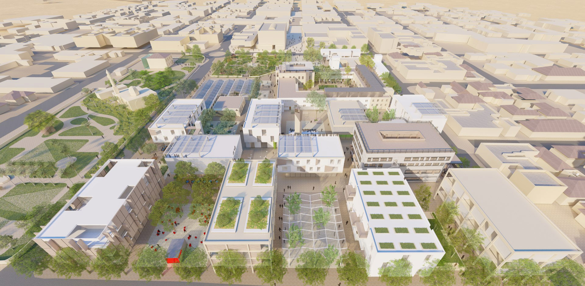
Pikud Darom (Southern Military Command Compound) – Proposal for Urban Renewal Plan
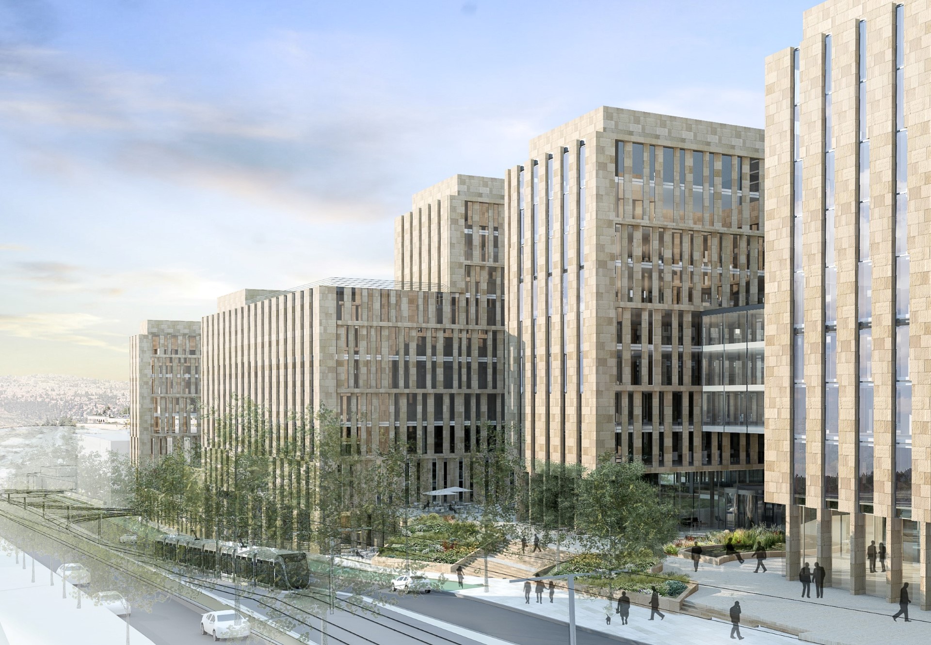
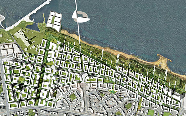
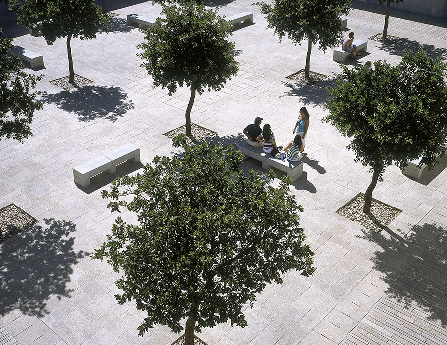
The plan – prepared in partnership with Ari Cohen Architects and City Planners (as lead urban designer) - proposes transforming the existing closed and fenced military complex to become an integral part of the Old City of Be'er Sheva, connected to its streets and filling in the missing puzzle piece between the Old City and the New City. The framework of the plan consists of a sequence of inviting courtyards and squares designed for wandering, meeting, and resting. These courtyards redefine and connect the old and the new through a network of pathways that subtly reference the grid of the Old City. The plan preserves four historic buildings, injecting new content and presence into the urban space from which they were previously hidden. New buildings are designed to complement the historical structures. The program suggests a mix of rental housing aimed at young people, creators, and young families. The new buildings are multifunctional and flexible. Each building has a unique relationship to the public space, with façades designed accordingly, creating a collage of views and moments that change character throughout the day and across seasons. The buildings are adapted to the city's climate using advanced materials, technologies, and engineering methods. The proposal includes division into sub-complexes, with a phased development approach that supports the feasibility of development while ensuring diversity and alignment with the evolving needs of the population. In the long term, the complex will become a unique cultural space where businesses, residences, and tourism coexist, providing a platform for local residents, businesses, and organizations to initiate projects....